

Part Two of a 2-part series
Subscribe now for unlimited access.
$0/
(min cost $0)
or signup to continue reading
SETTLEMENT in the Southern Highlands began in earnest once the Great South Road, at first a rough track from Sydney, opened in 1820.
Commissioned by Governor Macquarie, it was built by Dr Charles Throsby with Joseph Wilde as supervisor of the convicts. It passed over the Mittagong Range, crossed the river at Bong Bong and proceeded south-west.
In the 1830s a new line through the district, marked by Surveyor-General Thomas Mitchell, was built. It deviated from the first road at Little Forest (now Catherine's Hill) and turned westward to avoid the Mittagong Range. It crossed the Wingecarribee River at Berrima, where a town was laid out, and progressed south to Paddys River and on to Goulburn.
This deviation formed a section of the line of road that was proclaimed the Great Southern Road in 1858 and renamed the Hume Highway in 1928.
The 1830s line through the Berrima district resulted in a saving of some 36 kms but required the building of a substantial bridge at Berrima and two smaller structures further south. The design and construction of these bridges was given to David Lennox who, through Mitchell's patronage, was appointed Superintendent of Bridges in June 1833.
Lennox had arrived in Sydney in 1832 and in England had worked for some 20 years on public works and on the construction of several timber bridges. His expertise greatly assisted Mitchell's plans for the improvement of the colony's Great Roads as, until Lennox's arrival, bridge design and construction was haphazard. He is considered the most significant of the early bridge builders in NSW.
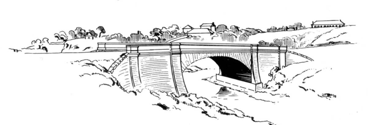
In 1833 Lennox laid out the site for the bridge across the Wingecarribee River at Berrima. It was designed on the lines of the Lansdowne Bridge at Prospect, to be of sandstone with an arch span of 50 feet and a width of 27 feet, including parapets. Convict gangs provided the labour and, after some delay, this elegant and imposing structure was completed in mid 1836.
It carried road traffic until August 1857 when its upper part was washed away by flood. A wooden structure of planks and beams erected to span the gap was swept away by another flood in 1860 that further broke up the stonework. Beyond repair, the Royal Engineers were hastily dispatched to replace it some 145 feet downstream with a sturdy wooden truss structure on two piers.
The two smaller bridges further south were designed by Lennox in early 1835 and built by convict gangs.
At Medway Rivulet, five kilometres south of Berrima, a timber bridge supported by three masonry piers was completed in 1935. This bridge was also washed away in the 1860 floods.
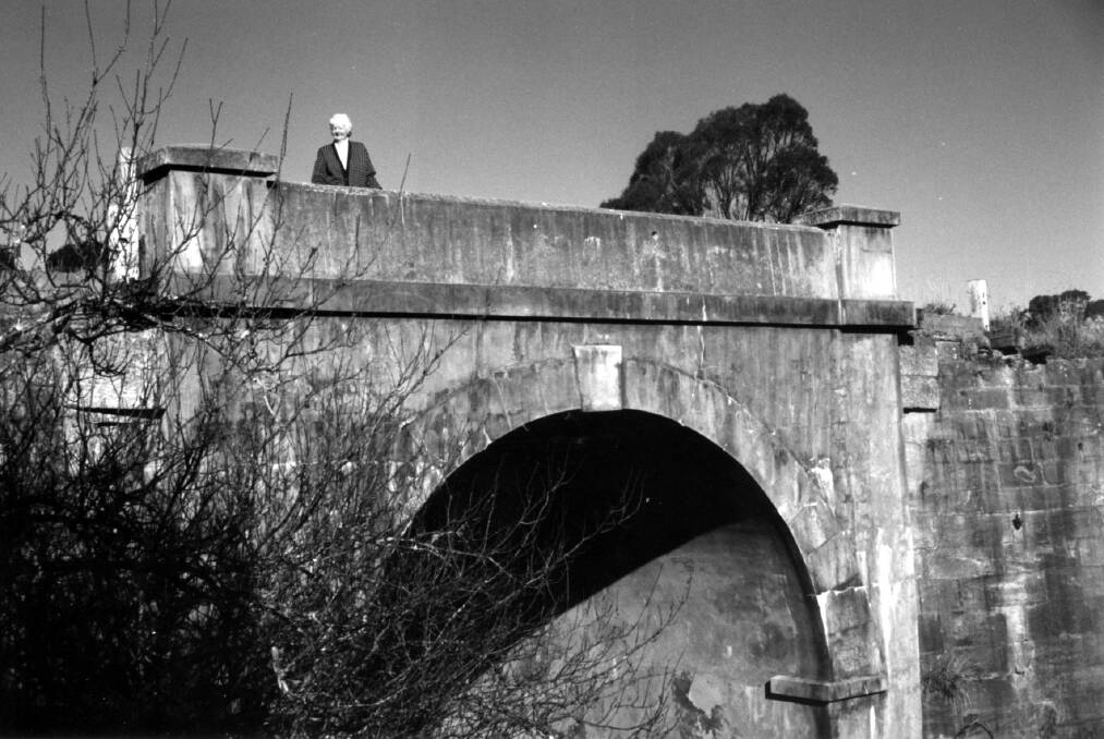
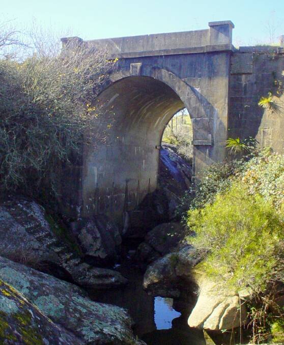
At Black Bobs Creek, 12kms south of Berrima, during 1835/36 a timber beam structure was built over the creek, supported by sandstone abutments resting on a solid mass of rock forming the embankments. It traversed a narrow rocky gorge 10 metres deep that widens into a string of deep waterholes. On its western side a flight of steps carved into the rock lead from the road to the waterholes that would have been a reliable water source for early road users. The timber span was replaced, first in 1860 by another timber bridge, and again in 1896 by a concrete arch. This structure, still standing, was the first un-reinforced concrete arch bridge built in NSW, supported by the original 1830s sandstone abutments and retaining walls. This bridge carried the Great Southern Road's coaches and drays, coped with 'new-fangled' motor vehicles and remained in use after the road became the Hume Highway in 1928.
A new dual-carriage bridge was constructed in 1971 at Black Bob's Creek as part of a major realignment of the highway; the old bridge was decommissioned and responsibility for its maintenance passed to the local council.
Still standing today, old Black Bob's Bridge remains the property of Wingecarribee Shire Council. Being a rare example of pre-1840 road engineering, it is of important local, regional and state significance. It is classified by the National Trust of Australia, listed by the Institution of Engineers Australia and is included on the inventory listing of the Wingecarribee Heritage Survey. A conservation report prepared by Linda Emery for council in 1995 recommended that, while the structure of the bridge is basically sound, persistent problems of deterioration required attention.
Heritage preservation options are currently being examined by council. The bridge is accessible on foot from Mackey VC Rest Area on the Hume Highway, located just north of the Illawarra Highway junction. Well worth a visit.
This article compiled by PHILIP MORTON is sourced from the archives of Berrima District Historical & Family History Society, Bowral Rd, Mittagong. Phone 4872 2169.
Email bdhsarchives@gmail.com.
Web: berrimadistricthistoricalsociety.org.au

